A NOTE FROM THE CLUB
Made for curious minds.
Geonician is a collection of geography games for anyone who wants to know their world a little better. Play at your pace, learn as you go, and come back for another adventure.
Your curiosity. Your privacy.
Play without an account. Optional saved game records are off until you choose to allow them. In-session gameplay works without persistent storage. Read our privacy notice and storage settings to review records, allow or withdraw storage, and see the operator/hosting information still required before launch.
Real outlines. Different perspectives.
The country-shape quiz uses full-resolution country-level ADM0 data from geoBoundaries, prepared into local SVG assets. Its 195 eligible countries can be practiced by continent or All World. The supplied islands, holes and disconnected polygons are retained, with a country-centered equal-area projection and uniform display scaling. Zoom and arrow controls help explore small islands and distant land areas.
geoBoundaries gbOpen is distributed under CC BY 4.0. Individual sources carry their own original-source license statements, including attribution and OpenStreetMap database terms. Credit: William & Mary geoLab, community contributors, and Runfola et al. (2020), geoBoundaries: A global database of political administrative boundaries. Where source metadata cites OpenStreetMap, credit is also due to © OpenStreetMap contributors. Every source, represented year, original license, pinned download and asset hash is listed in the country source and processing record.
These country files come from different providers and represented years. They do not define universally agreed borders or current control. They are not a seamless global partition: national claims can overlap or differ. We preserve each supplied ADM0 file rather than inventing missing borders. Some sources omit overseas areas: France’s supplied file, for example, covers metropolitan France and Corsica. Detailed geographic limits and source notes appear beside the quiz and in its source record.
One continent per country.
Eligibility covers UN member states plus Palestine and Vatican City; dependent territories and other entities are not separate silhouette questions. UN M49 groups determine each country’s category. North America includes Central America and the Caribbean. Russia is classified in Europe; Türkiye, Cyprus, Kazakhstan, Armenia, Azerbaijan and Georgia in Asia; Egypt in Africa. This is a quiz classification, not a claim that all of a country’s land lies on one continent.
The map challenge.
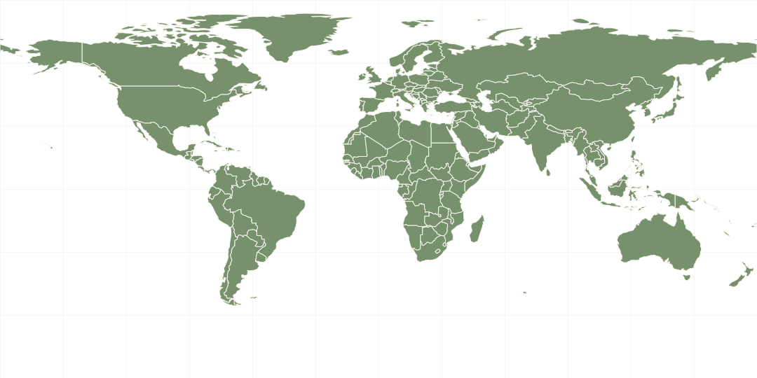
Find the Country and decorative world-map art continue to use Natural Earth’s public-domain 1:110 million Admin 0 Countries data. Its generalized outlines omit very small countries and islands. The map follows the source’s default de facto territorial treatment; it is educational, not a navigation or legal boundary reference.
Natural Earth public-domain terms ↗
Natural Earth source data ↗
Flags and capital cities.
Flag Quizzes includes all 195 countries in our UN member/observer scope, with territories and other ISO areas in a separate category. This category includes dependencies, associated states and disputed-status areas; it is not a statement about sovereignty. Antarctic areas have their own filter. Some areas share national flags or use unofficial regional designs. SVG flag artwork is from flag-icons, released under the MIT license.
Capital city metadata comes from Countries / countries-list under the MIT license, with reviewed overrides. Questions specify administrative, legislative, constitutional or claimed capitals where necessary. The Equatorial Guinea answer follows the government's January 2026 capital declaration. Source links for reviewed exceptions are retained in the capital question registry.
Geography puzzles
Capital Scramble reuses the reviewed capital data above. Map Memory uses a selected set of 40 countries and Natural Earth map reference points for its numbered markers, not capital locations. Existing map scope and generalization limits apply.
Daily Question & data sources
Daily questions reuse the reviewed flags, capitals, continent conventions and saved World Bank statistics documented here. The same UTC date and deployed question pool select the same question. Results and completion streaks stay in local browser storage; the compact sidebar hides detailed statistics and history without deleting them.
Higher or Lower uses saved World Bank World Development Indicators: GDP, population, surface area, GDP per person, life expectancy and urban population share. Each metric uses the observation year with the widest country coverage; all matchups use that same year. Missing and older observations are excluded, not estimated by this site. Urban definitions vary by country. Data is available under CC BY 4.0 and World Bank additional terms. The local snapshot records retrieval date, values, years and unavailable countries.
Maps, flags, capitals and Country Shapes draw a fresh shuffled round from the selected eligible continent, without repeating a country until its pool is exhausted.